本文為英文版的機器翻譯版本,如內容有任何歧義或不一致之處,概以英文版為準。
如何取得特定維度的靜態映射
在本主題中,您將了解如何使用 Amazon Location Service 設定靜態地圖的維度 (高度和寬度)。自訂地圖影像的維度可讓您平衡效能、視覺品質和可用性。width 和 的最大值height為 1400 像素,而最小值為 64 像素。結果大小上限為 6 MB。
此外,您可以使用 bbox和 bounds 參數以及 padding ,以確保邊緣附近的重要地圖功能完全可見,不會中斷。
取得具有特定高度和寬度的地圖影像
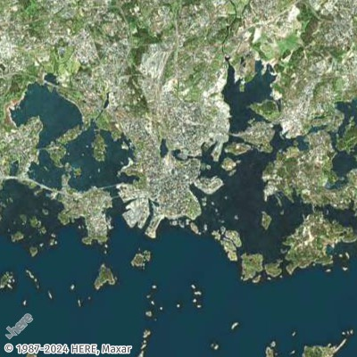
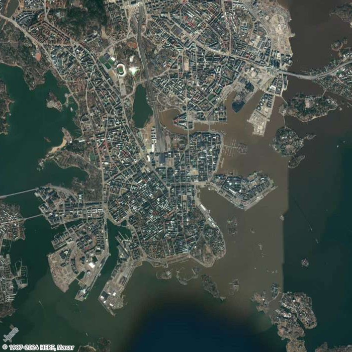
在此範例中,您將建立芬蘭赫爾辛基的低解析度和中解析度地圖影像。
- Request URL for low-resolution thumbnail
-
https://maps.geo.eu-central-1.amazonaws.com/v2/static/map?style=Satellite&width=200&height=200&zoom=11.5¢er=24.9460,60.1690&key=API_KEY
- Response (Thumbnail 200x200)
-
- Request URL for mid-resolution image
-
https://maps.geo.eu-central-1.amazonaws.com/v2/static/map?style=Satellite&width=700&height=700&zoom=13¢er=24.9460,60.1690&key=API_KEY
- Response image (700x700)
-
取得對應影像,並在各邊加上填補
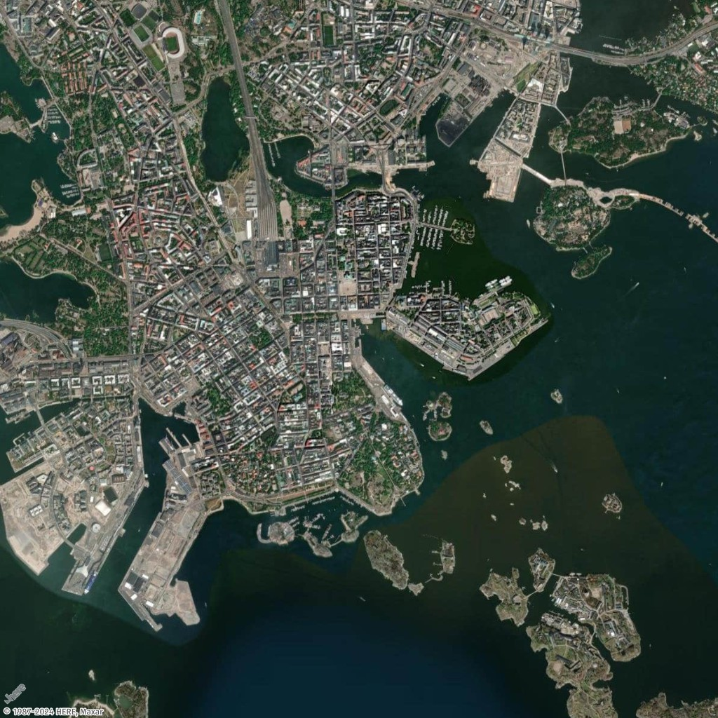
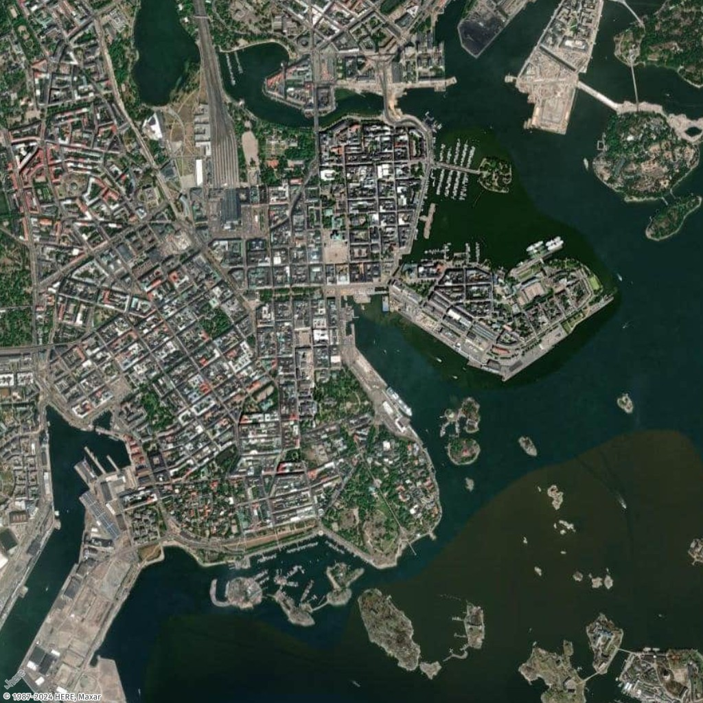
在此範例中,您將使用芬蘭赫爾辛基的幾個必看位置來產生地圖,以及其座標 (經度、緯度),無論是否有填補。
- Request URL with padding
-
https://maps.geo.eu-central-1.amazonaws.com/v2/static/map?style=Satellite&width=1024&height=1024&padding=150&bounded-positions=24.9526,60.1692,24.9850,60.1465,24.9270,60.1725,24.9226,60.1826,24.9509,60.1675,24.9566,60.1685,24.9457,60.1674,24.9397,60.1719,24.9414,60.1715,24.9387,60.1720&key=API_KEY
- Response image (with padding)
-
- Request URL without padding
-
https://maps.geo.eu-central-1.amazonaws.com/v2/static/map?style=Satellite&width=1024&height=1024&bounded-positions=24.9526,60.1692,24.9850,60.1465,24.9270,60.1725,24.9226,60.1826,24.9509,60.1675,24.9566,60.1685,24.9457,60.1674,24.9397,60.1719,24.9414,60.1715,24.9387,60.1720&key=API_KEY
- Response image (without padding)
-